Explore Giridih
Discover the natural beauty, rich culture, and vibrant life of Jharkhand's hidden gem. Your journey starts here.
Welcome to Giridih Explorer
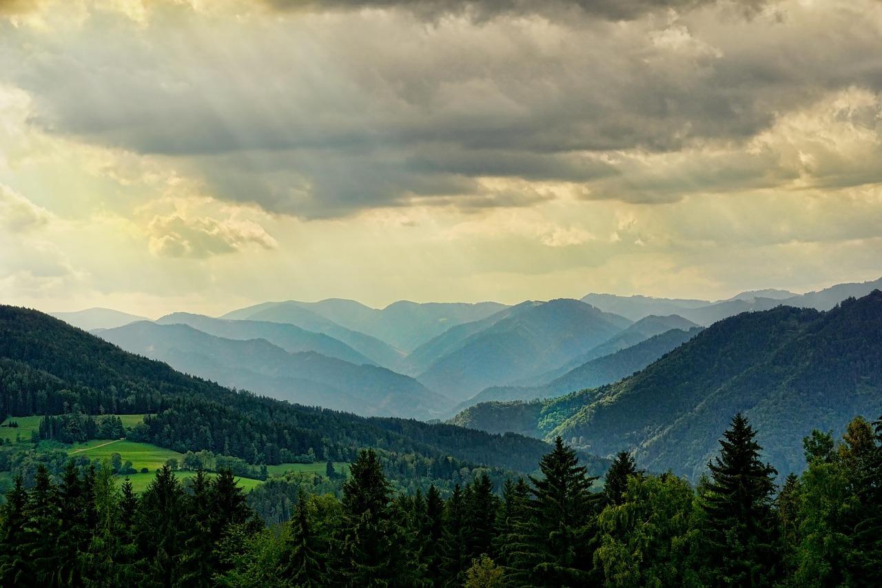
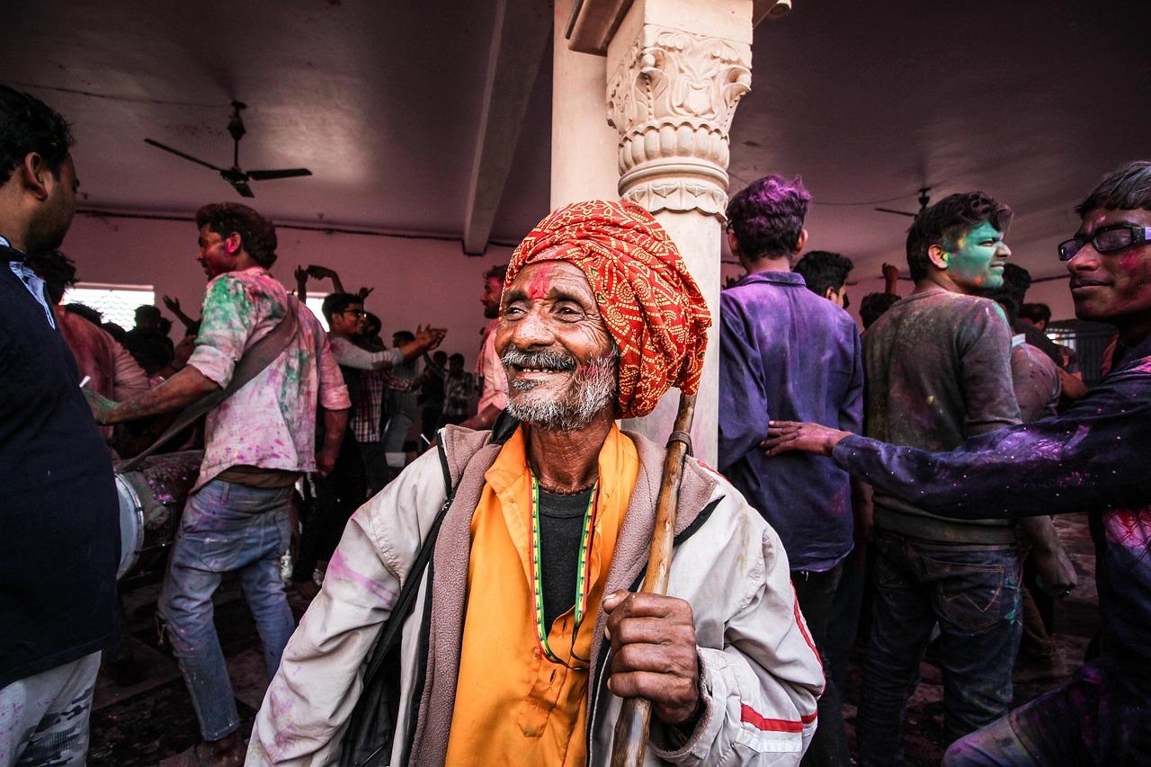
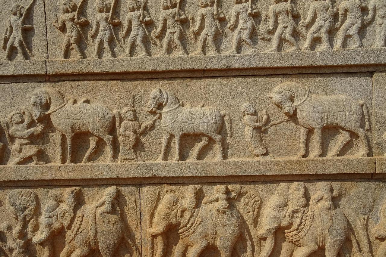
Embark on a digital journey through Giridih District, a land of towering hills, lush forests, ancient traditions, and industrious people. This platform is your comprehensive guide to everything Giridih has to offer, from the sacred Parasnath Hill to the intricate local crafts. Explore, learn, and be inspired.
About Giridih District
Giridih District, an administrative district of Jharkhand, has its headquarters at Giridih. It was carved out from Hazaribagh District on 4th Dec 1972.
The district lies between 24° 11' North latitude and 86° 18' East longitude.
This district is bounded by Jamui District and part of Nawada district of Bihar in the north, by the districts of Deoghar and Jamtara on the east, by Dhanbad & Bokaro on the south, and by Hazaribagh & Kodarma on the west.
- Giridih subdivision
- Bagodar-Sariya subdivision
- Khorimahua subdivision
- Dumri subdivision
- Bagodar
- Bengabad
- Birni
- Deori
- Dhanwar
- Dumri
- Gandey
- Gawan
- Giridih
- Jamua
- Pirtand
- Sariya
- Tisri
Search & Explore
Or browse popular sections below.